
Makkah Commission Tracked Hajj 2026 With 9M Traffic Images

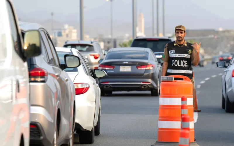
- Royal Commission for Makkah managed data for more than 20,000 landmarks, locations and services across over 20 interactive maps during Hajj 1447
- A traffic monitoring platform processed 9 million images and covered more than 1,400 km of roads, updating changes within 60 seconds
- Digital guidance maps logged 537,197 uses, with the Masjid al-Haram (Grand Mosque) map used 233,590 times
The Royal Commission for Makkah City and the Holy Sites used geospatial data and business intelligence to track movement and services, update maps and locations, and share spatial information with operational teams and pilgrims during Hajj 1447.
Mapping the Holy Sites
During Hajj 1447, the commission managed data covering more than 20,000 landmarks, locations and services on digital maps. It also built and maintained more than 20 interactive maps for landmarks and services across the Holy Sites, the central area, and Masjid al-Haram (Grand Mosque).
The Data Management Office linked this data with 30 related government entities, supporting real-time tracking of operational indicators tied to pilgrim services.
Hudhud and Baladi Maps Update Roads in 60 Seconds
Work teams using the “Hudhud” maps processed more than 4,400 geospatial points during Hajj 1447. They updated data on more than 3,250 road segments and 70 road closures, with each update reaching the map within 60 seconds.
Separately, teams reviewed 8,248 points of interest tied to the Hajj season on “Baladi” maps and added 3,119 new points of interest across the Holy Sites.
Traffic Platform Covers 1,400 KM of Roads
The Royal Commission also runs a traffic status and situational awareness platform that tracks traffic and crowd movement. During Hajj 1447, the platform recorded 9 million traffic images and processed more than 350,000 points and elements of location and geospatial data.
The platform’s coverage extended across more than 1,400 km of road network and linked 419 bus stations to live schedules in real time.
Guidance Maps Reach Pilgrims Directly
Pilgrims accessed this data through a Digital Spatial Guidance platform made up of 11 guidance maps covering more than 5,000 locations, sorted into more than 10 categories including health, education, religious services, transport and tourism.
These guidance maps recorded 537,197 total uses during Hajj 1447. The Masjid al-Haram (Grand Mosque) map was the most used, with 233,590 uses, followed by the Makkah administrative boundaries map at 69,275 uses, and the map of important locations and camps at 44,084 uses.
The commission is continuing to update its road and location data, link information between entities, and manage its maps and digital platforms ahead of future Hajj seasons.


 WhatsApp Channel
 ChatGPT
 Instagram
 Facebook
 X (Twitter)
 Claude
 Ask Gemini AI
 Ask Grok AI
Support the officially authentic Islamic website.
Support our mission to spread Islamic knowledge. Your donation helps our volunteer writers and infrastructure. Contribute now.

